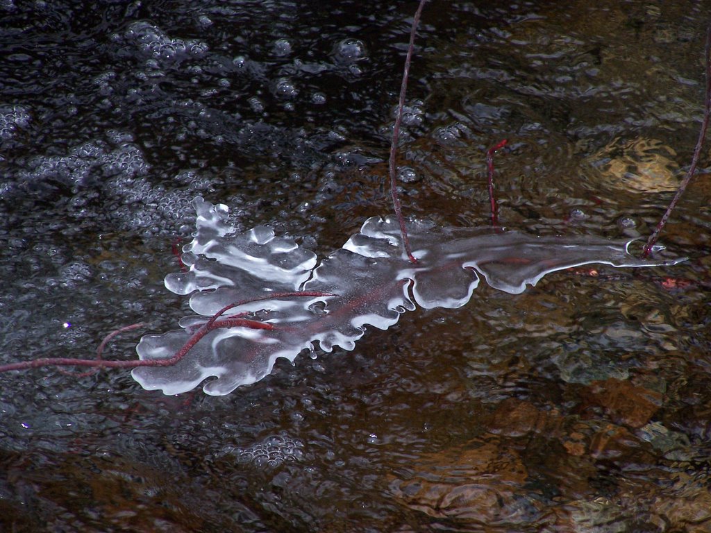
NATURE'S HANDIWORK

Full moon arising taken from the house in late Jan
posted by AL COTTON @ 12:00 PM
0 comments
![]()
posted by AL COTTON @ 12:00 PM
0 comments
![]()


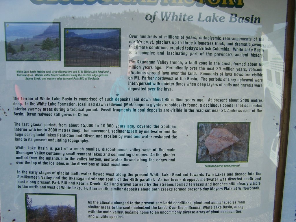
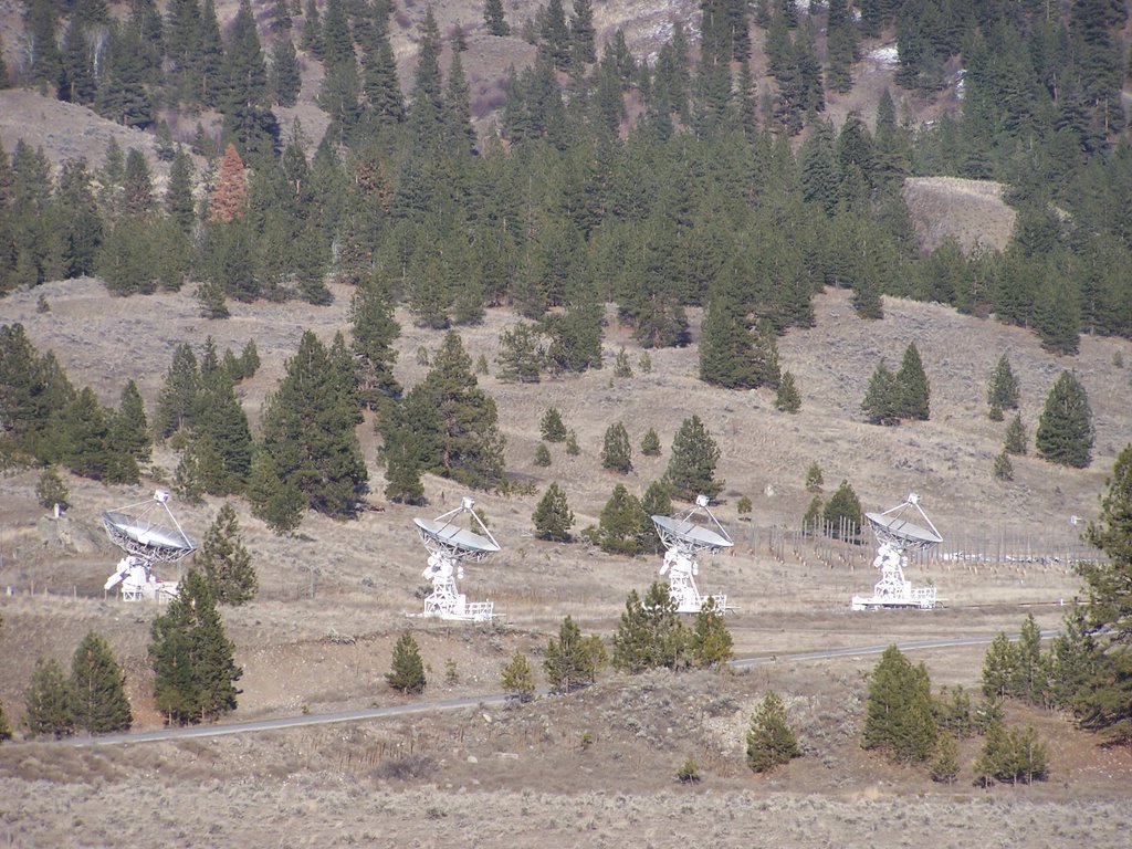
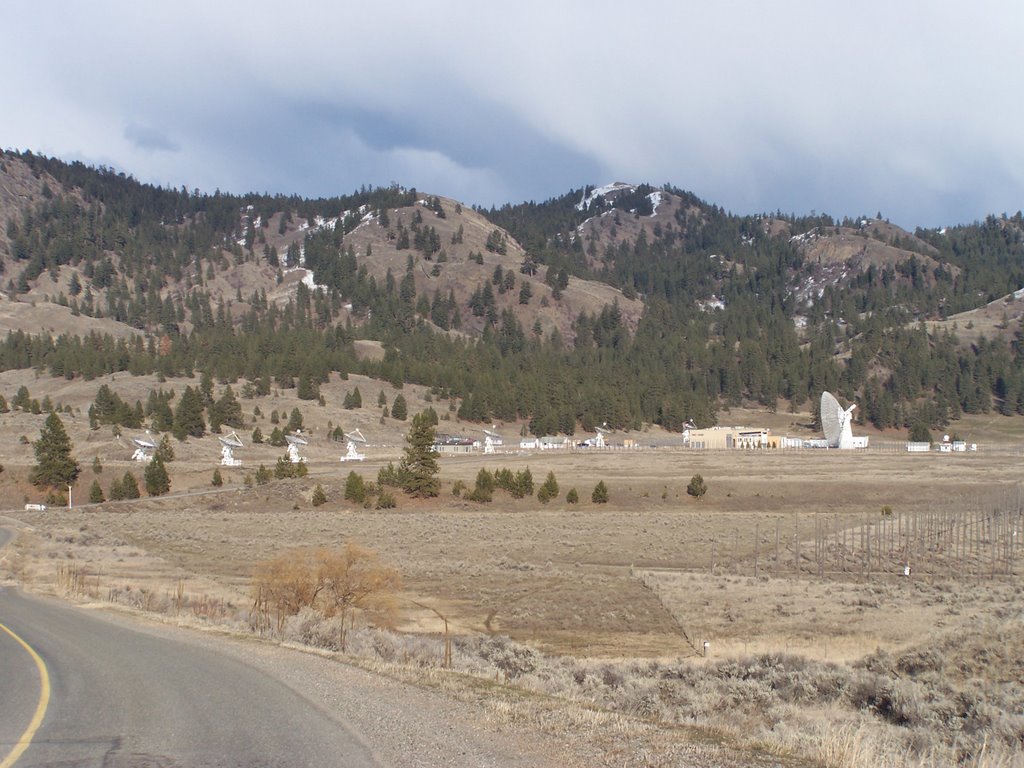 THE DOMINION RADIO ASTROPHYSICAL OBSERVATORY....These radio telescopes are used to gather astronomical data such as quarks and sounds from space


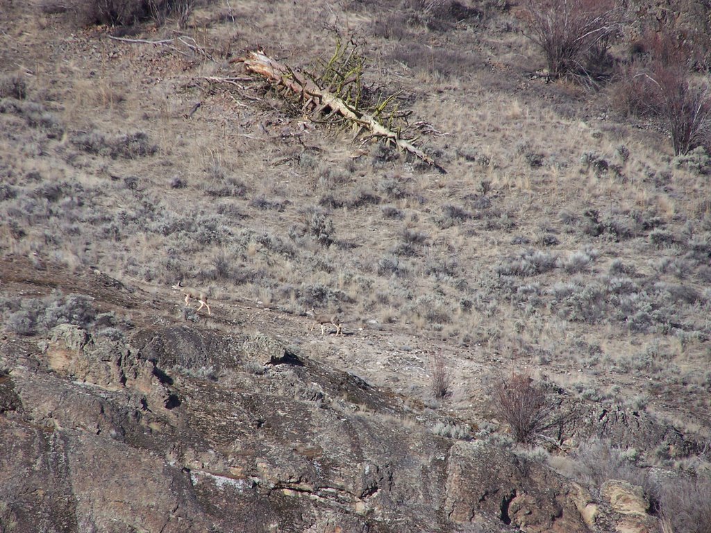
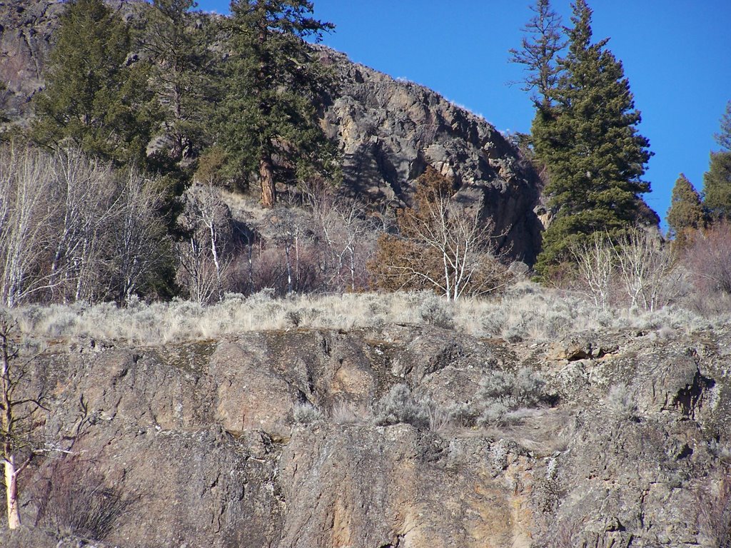
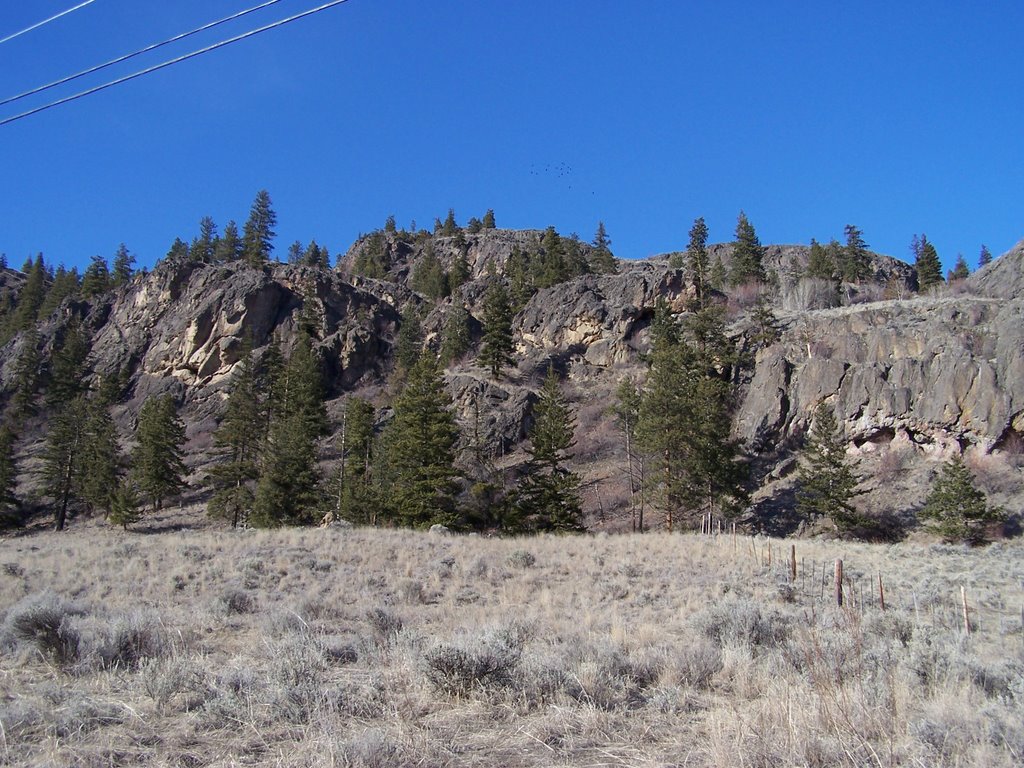
 Clicking on these pictures you will be able to see the herd of deer which were making their way to higher ground


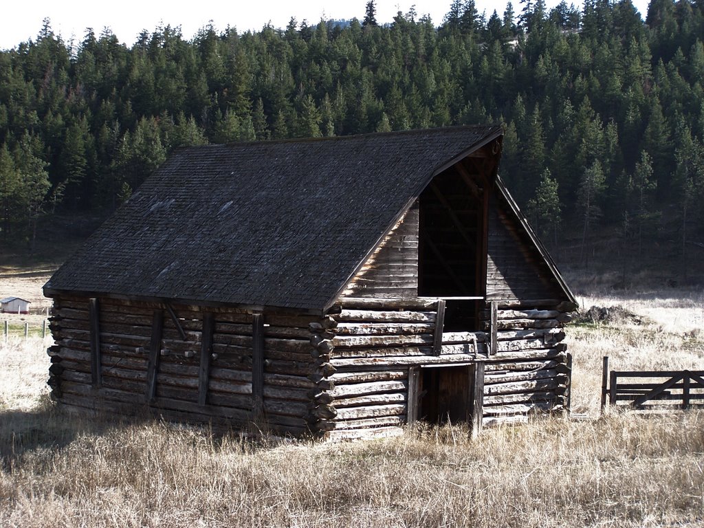 An old log barn located at the junction of the White Lake Rd. and the hwy to Okanagan Falls (3A).
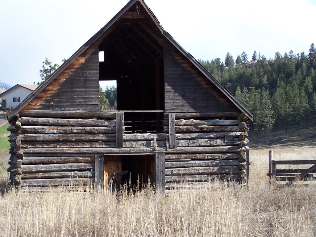
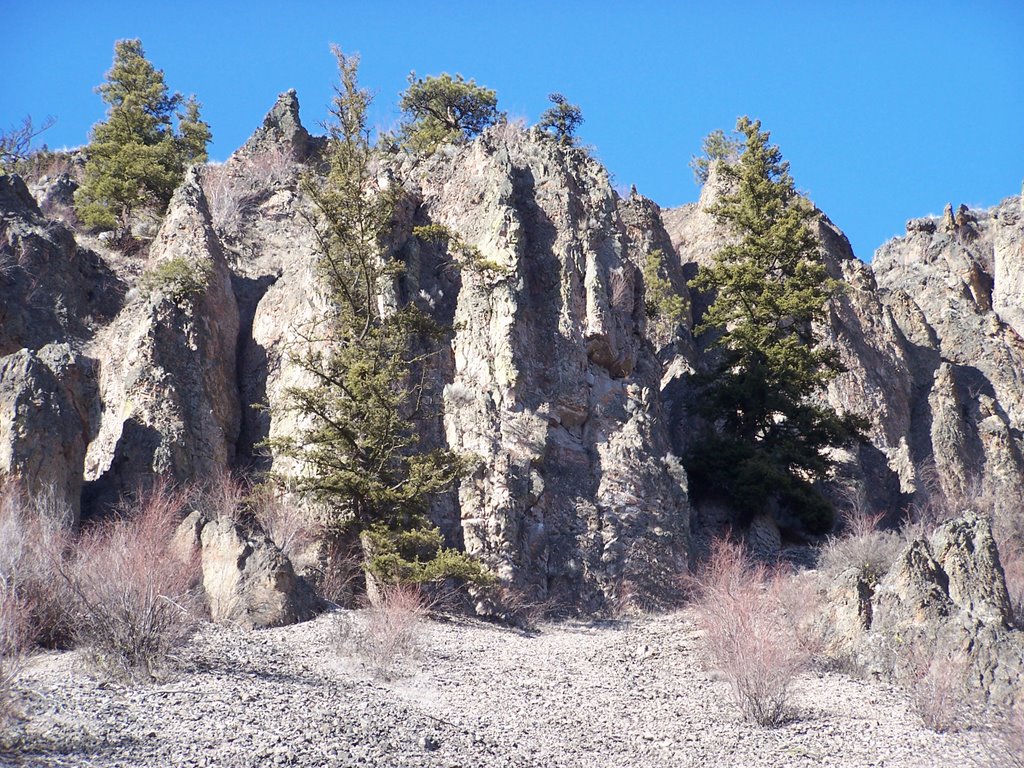
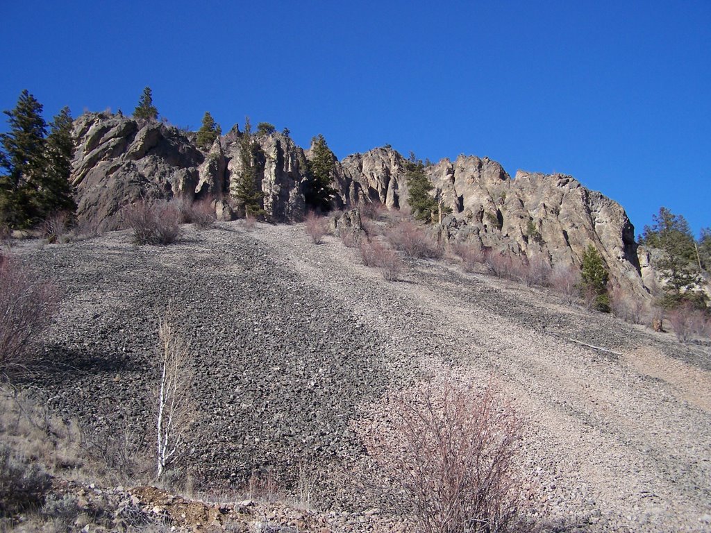
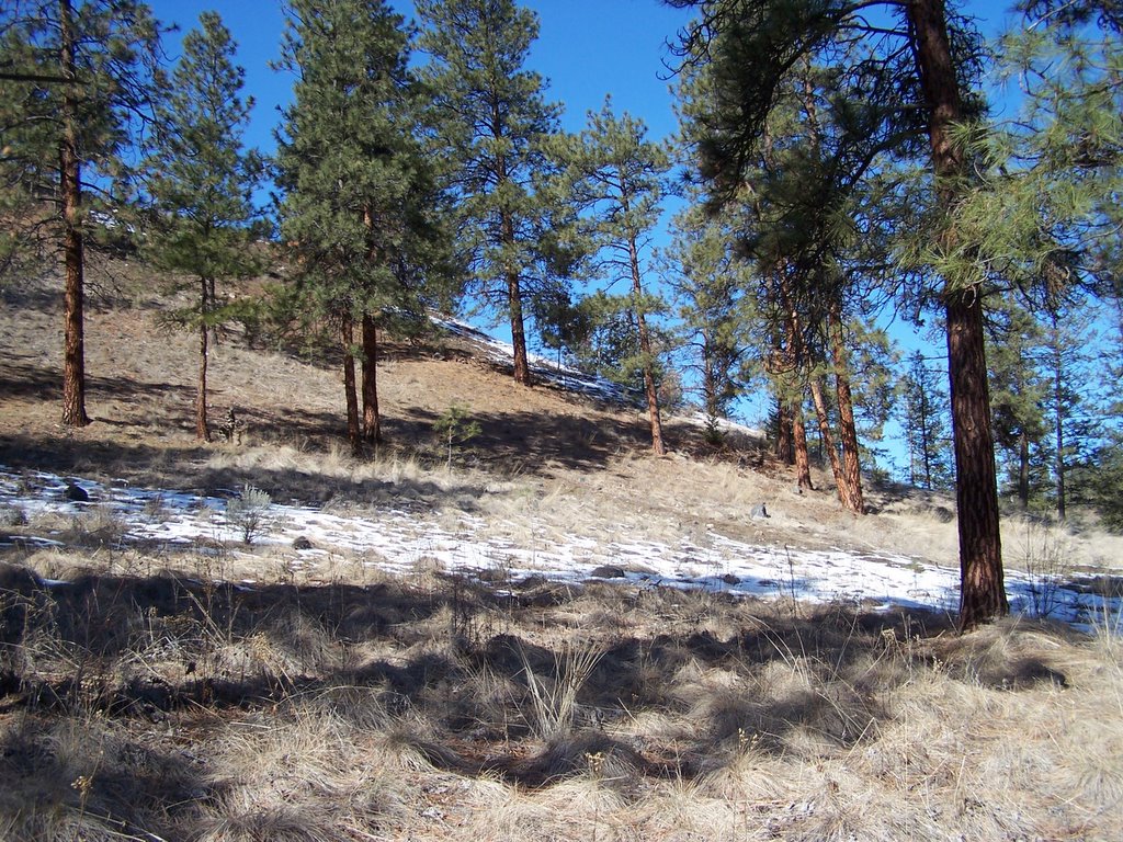
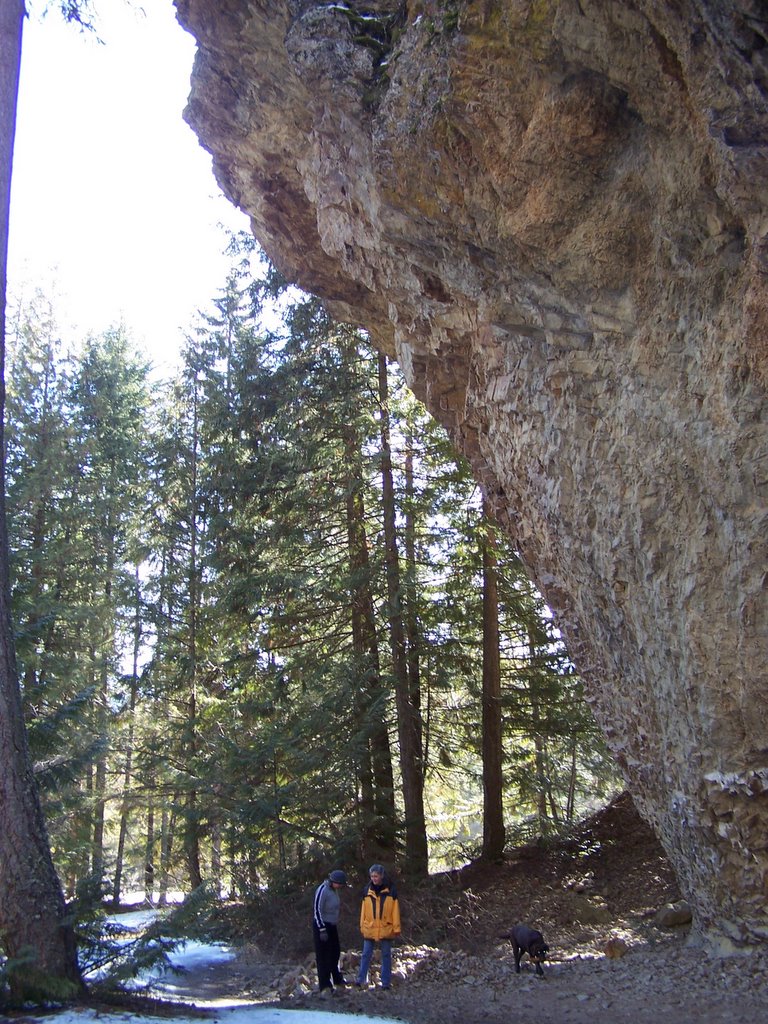
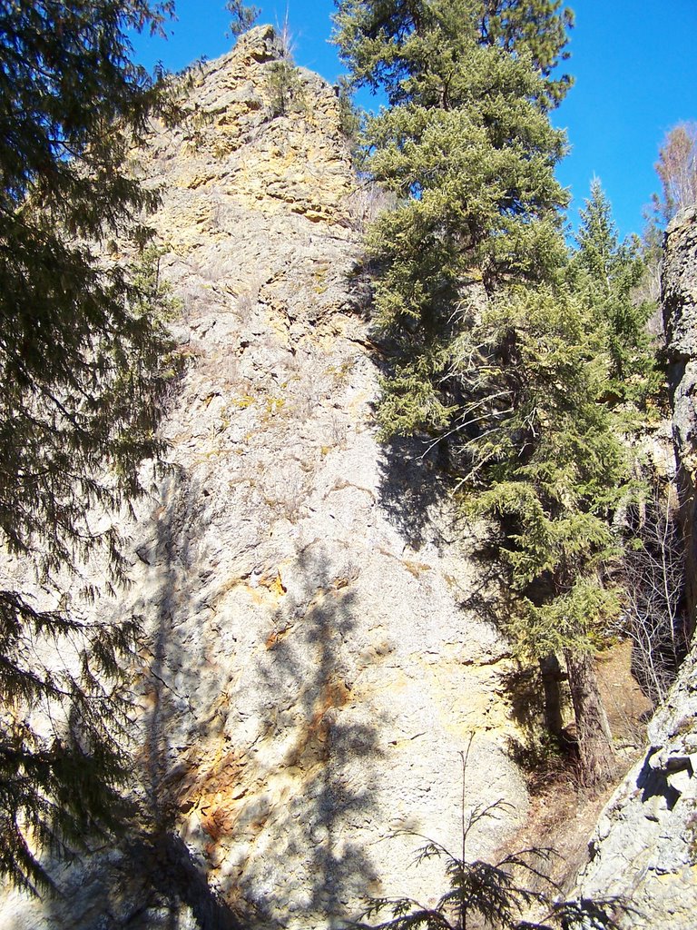
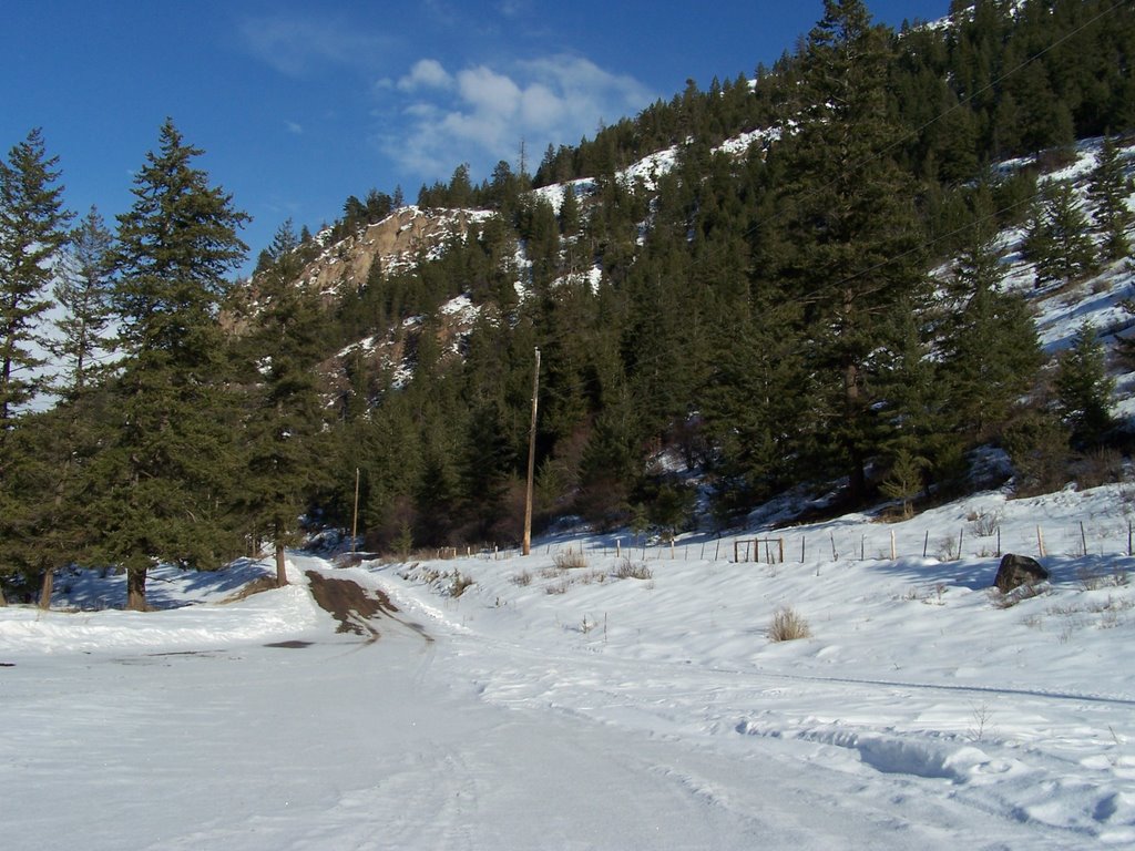 A backroad off of the White Lake Road
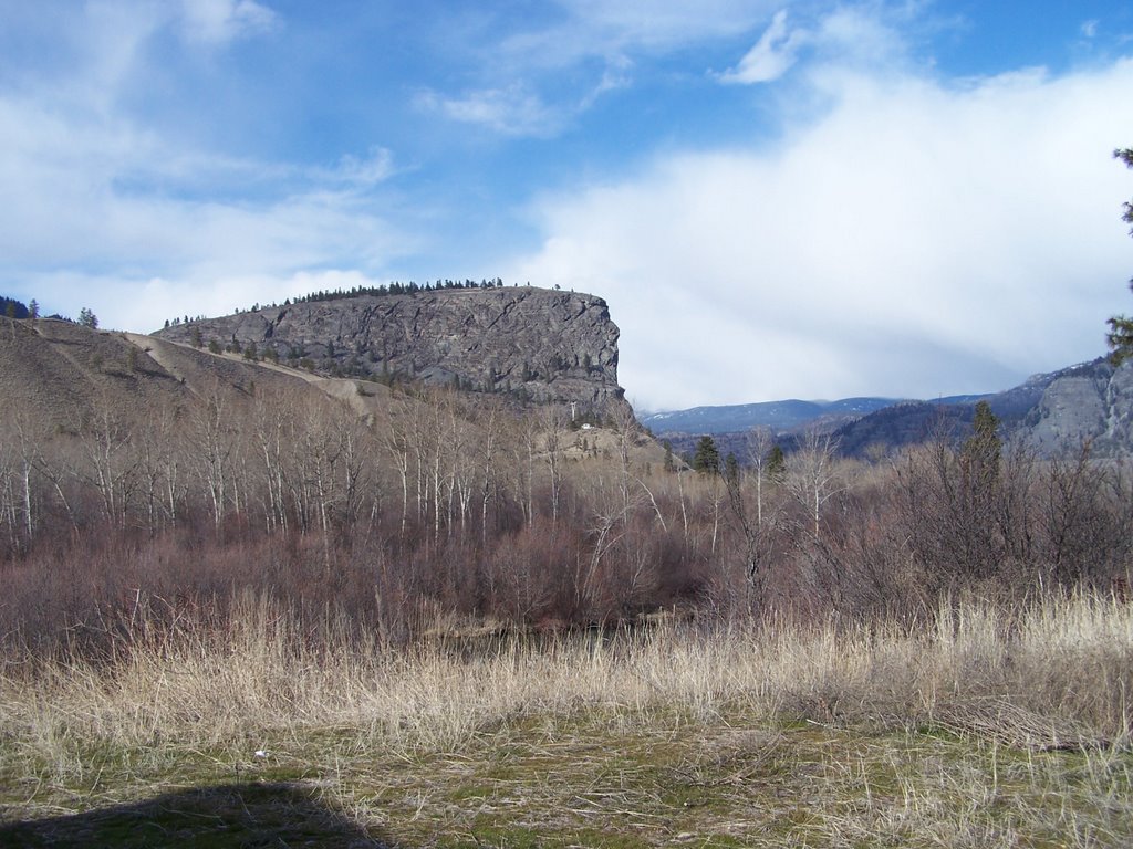
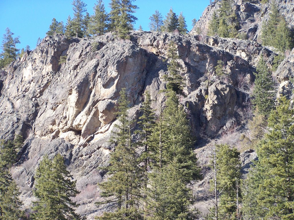
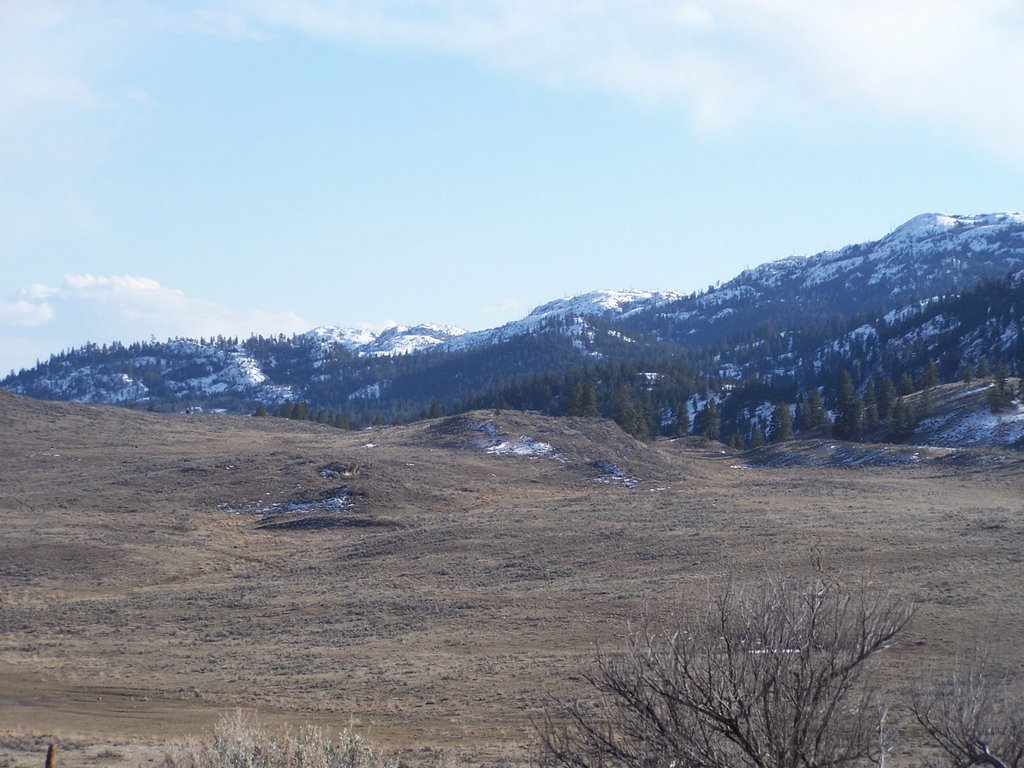
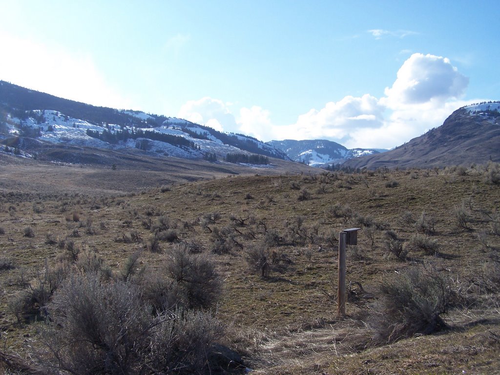
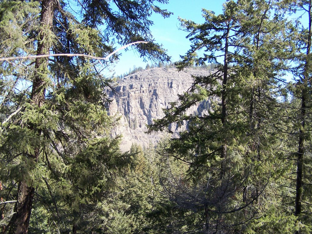
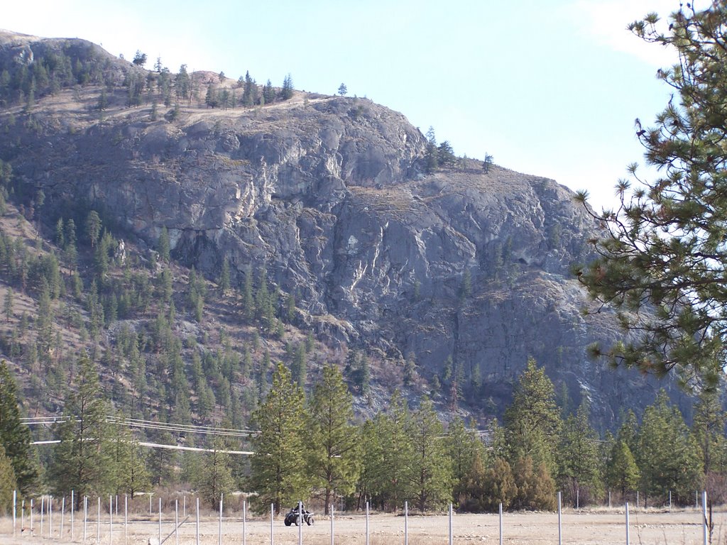 The opposite side of the valley from McIntyre Bluff and home to a heard of California Bighorn. This herd of Bighorn was decimated in the '80's by an outbreak of tb. In the winter 100's of them could be seen in the fields covering the valley floor and signs were erected along the hwy. warning of bighorn sheep crossing.
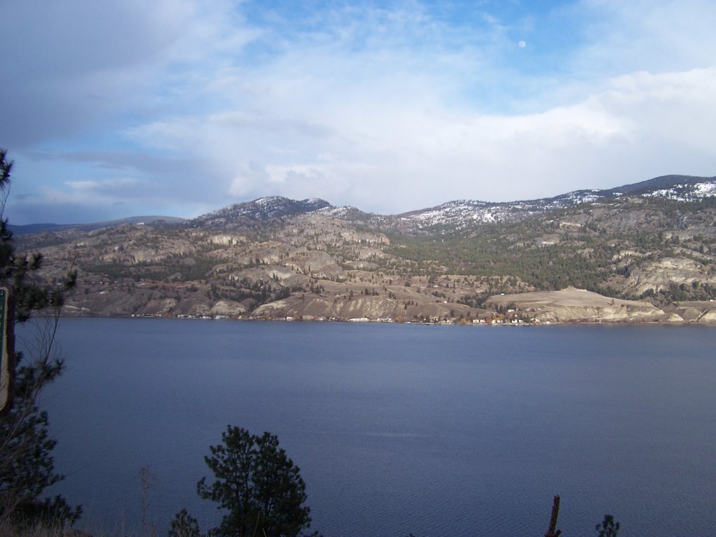
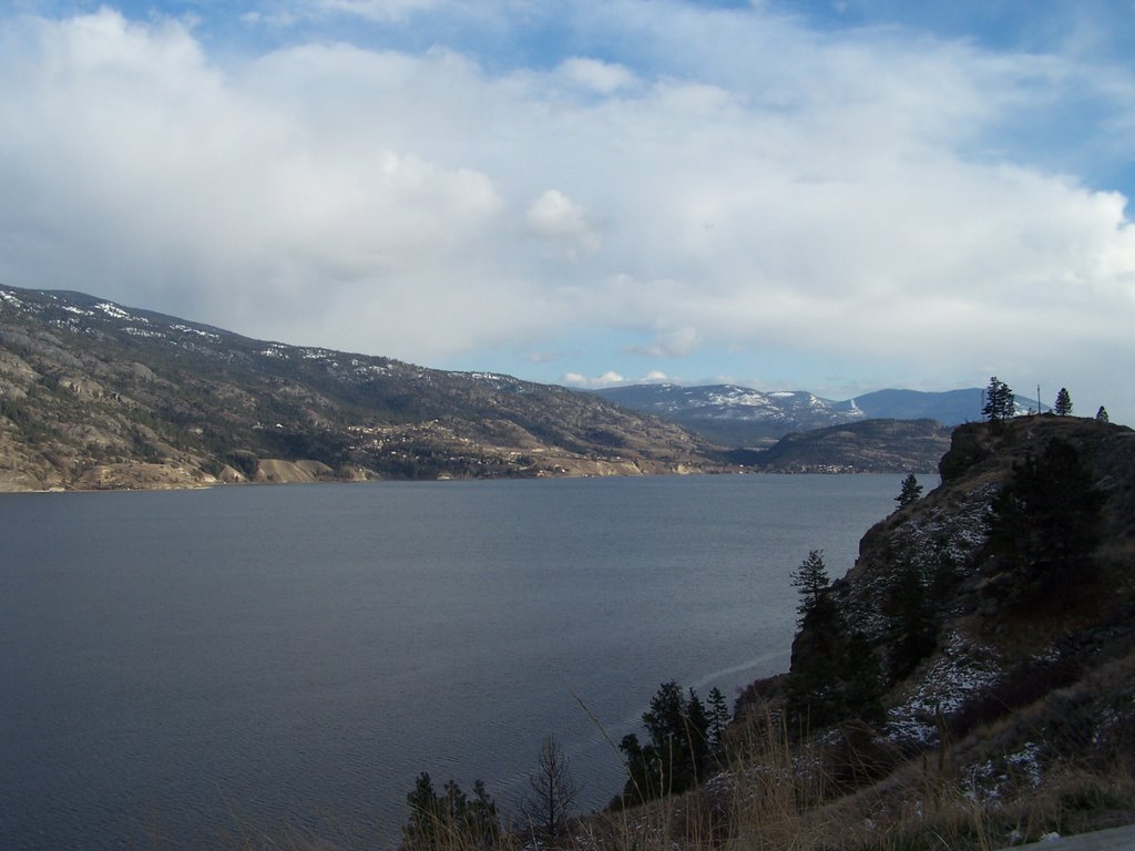 OKANAGAN LAKE looking South across the lake from Hwy. 97 This is where the lightning struck that started the firestorm in 2003. It spread from here both North to Kelowna and South to Naramata and from the shoreline up and over the top of Okanagan Mntn. which is in the foreground. It eventually took out 235 homes and 1/3 of Kelowna was evacuated in it's path. Fortunately no one was seriously injured although some fire fighters drove over a cliff in the dense smoke and numerous animals died in it's path. The fire was fought from the air by two Mars waterbombers (the only two in existance) and 6 C415's from Quebec. It was a very traumatic time for all the local residents and the response to help displaced evacuees was overwhelming.
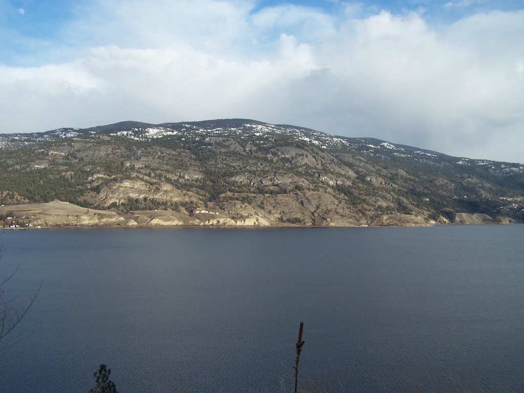
posted by AL COTTON @ 7:24 PM
0 comments
![]()


posted by AL COTTON @ 9:22 PM
0 comments
![]()
Moved to Kelowna from Vancouver in 1970. Worked at Western Star Trucks for 26 years before they did me a favour. Now I'm having a ball, live alone, have two great married sons and daughter in laws a beautiful grandaughter Isabella and a new grandson Diego who all live close by. Update......no longer living alone. I've met a beautiful lady who has everything except good taste in men!
